
GIS Services
Mapping your future
Rooks Excavating LLC utilizes the latest in GIS technology, providing innovative solutions that enhance efficiency and accuracy. With a strong commitment to leveraging cutting-edge tools and methodologies, our knowledgeable staff is dedicated to transforming your vision into reality, while also ensuring that every aspect of the project is completed with precision and attention to detail. We understand that land development involves complex challenges, and our goal is to alleviate those concerns through strategic planning and execution.
Services

Community Analysis
Knowing where to build is crucial; Rooks Excavating LLC uses federal spatial datasets to deliver demographic and economic reports, helping you protect your investment.

Elevation and Soil Analysis
By using advanced LiDAR and soil data, Rooks Excavating LLC provides clarity on the investment needed for a strong development foundation.
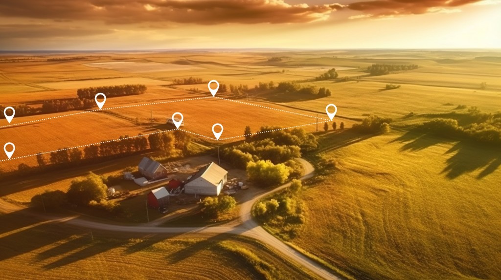
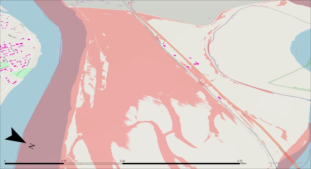
Property Boundary Mapping
Rooks Excavating LLC digitizes deeds into a spatial format, facilitating quicker address assignments and utility setups, while providing retailers with appealing maps to promote investments.

Onsite LiDAR Collection
Rooks Excavating ensures precision in both horizontal and vertical dimensions by utilizing advanced photogrammetry and LiDAR technologies, delivering high-quality outcomes to clients.
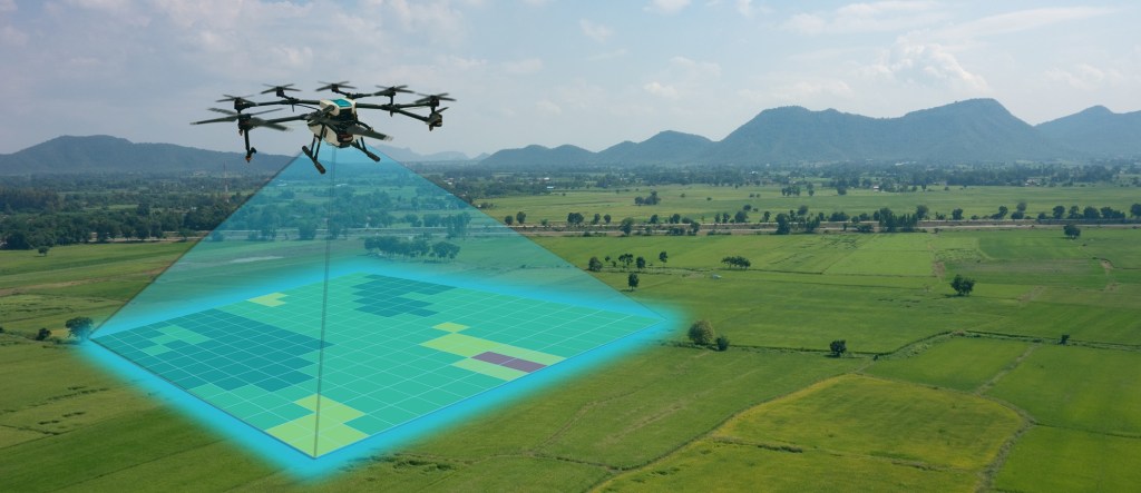
Ariel Photography
Rooks Excavating uses drones to gather remotely sensed information for analysis and marketing purposes.

More
Contact us to discover our expertise in DNR, Disaster Recovery, 911 Operations, Military Operations, Communications, and state regulations.
